Hiking Barr Trail to the Top of Pikes Peak in Colorado

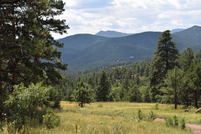
Barr trail starts in the town of Manitou Springs, which is located just outside of Colorado Springs, and quickly ascends into the Pike National Forest. Many people will hike or jog up the “Incline”, which is a steep trail that connects to Barr trail, so for the initial part of the hike, you will likely have many people running down as you hike up. The runners aren’t always in complete control of themselves, so you will find yourself stepping out of their way quite often. We have hiked the lower portion of Barr trail many times, but we only hiked the full trail that ends at the summit of Pikes Peak once. It was definitely one of the most difficult hikes that we’ve ever done due to both the length of the hike as well as the elevation gain.

Early in the Hike

Sign on Barr Trail, about 3 miles into the hike
View of Pikes Peak from Barr Trail
Lower Barr Trail

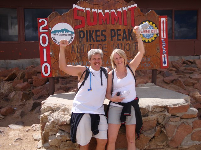
The entire hike is over twelve miles and has an elevation gain of over 7,000 feet (2,100 meters) to the peak, which is at 14,114 (4,301 meters). It certainly is not a hike for novices and was very much a challenge for us and we hike on a routine basis. Even if you are an experienced hiker, it is important to acclimate to the altitude of Colorado Springs for at least a couple of days before attempting to do the hike. Choosing the time of year to do the hike is important because even in the middle of summer it can snow on the top of Pikes Peak, so we hiked in August on a day when we knew that the temperatures would be fine at the base as well as the summit. Depending on the day, you may find yourself starting out in light weight clothing at the base and then layering up as you near the summit. It is also extremely important to be sure to stay hydrated with a combination of plain water and sports drinks.

Steep Hike at Points
Barr Trail at Tree Line
So Close and Yet So Far
View from Barr Trail, Garden of the Gods at the Base of the Mountain
Sign for the Summit

The hardest part of the trail was when we reached the tree line at 11,000 feet (3,350 meters) and the air thins out. The Summit House sits on top of Pikes Peak and is a restaurant and souvenir shop, which is visible from the base on a clear day. Once you reach the tree line, the point where the air is too thin for plants to grow, the Summit House seems like it should be close, but it is still a couple of hours away. Although we originally intended to hike up and then back down, it took longer to reach the summit that we anticipated, so we took the Cog Railway back down. The total hike to the summit took us about 8 hours, although we took our time and paced ourselves.

Standing on Top of Pikes Peak
We Were Exhausted When We Reached the Summit

Mount Falcon Park in Colorado

A while ago, we decided to head up to go hiking near Morrison, Colorado, which is a small town just outside of Denver. It is the home of the famous Red Rocks Amphitheatre, but we were there to get up into the mountains and enjoy some of the last days of summer. Any trail that is close to Denver is always likely to be crowded with hikers and mountain bikers and this was definitely the case at Mount Falcon Park. We decided to avoid the main trail, Castle Trail, which was packed with families, and take Parmalee Trail instead. It turned out to be a wise decision as we ended up having the trail almost all to ourselves.

The Start of the Trail
Clouds Building on Previously Sunny Day
Beautiful Wildflower
Into the Valley
Scenery

It was a beautiful day and the air was cool enough to make hiking thoroughly enjoyable. As with almost any hike in the mountains, there were gorgeous views and the wildflowers were still in bloom. The trail itself was steep at times, which is probably one of the reasons that there were fewer people on it, but not steep enough to be difficult. This happened to be one of the last hikes before the cooler, autumn weather arrived and it turned out to be a perfect hike to end the summer season with.

View of the Trail
Rugged Beauty
Clear Skies
Weathered Rocks
Wildflower

We don’t usually head north to go hiking, mostly because of the crowds, but we were glad that we decided to give this trail a chance. We use an app call AllTrails (or you can go to their website, alltrails.com) to find different trails to go hiking on. We have had many guide books over the years, but in this digital age it is easier to use the app, which also has ratings and comments from other hikers. In a sense, it is like TripAdvisor for hikers. However we find the trails, it is nice to find new trails like the ones at Mount Falcon Park, to go hiking on.

Another View of the Trail
Wild Berries
Into the Distance
Yucca Plants are Everywhere
More Wildflowers


People Never Look Up

It is a proven fact that people generally don’t look upwards and tend to keep their eyes forward or down. It is a shame sometimes as they are likely missing out on some beautiful scenery. We’re not saying that we are better than others at it, but we do try to look up at times, especially when we go hiking. We have seen a variety of birds and other animals by scanning the tree branches above us for anything that might be moving. Although things don’t appear to be looking up in general, here are a few images to help us all look up.

Hiking in the Amazon Jungle of Bolivia
Obelisk Reaching to the Sky in Luxor, Egypt
Seabird Overhead
Aspen Leaves and Blue Skies
In the Ecuadorian Jungle
Autumn Tree in Koblenz, Germany
Bird Taking Flight in Panama